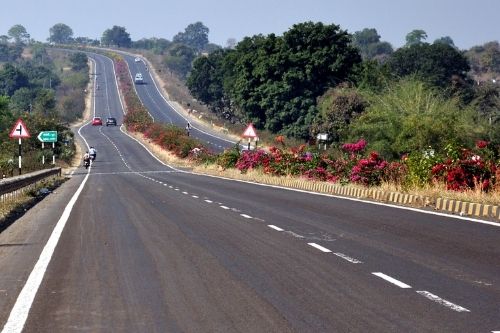
Highways
• Design of Highway as per latest IRC standards • Pavement Condition assessment using latest Laser Based Network Survey Vehicle • Inventory Surveys • Pavement strength study using Falling weight Deflectometer • Retro Reflectivity Survey • Automated Traffic Count survey
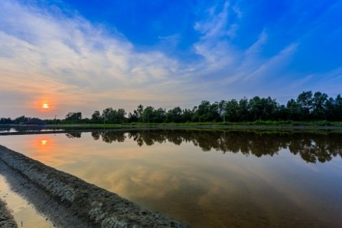
Water Resources
• River linking feasibility, Design and DPR studies • Preparation of Integrated River Basin Master Plan • Canal to Pipe Distribution Network Design and Proof Checking work • Area Drainage and Flood mapping and estimation studies • Design and estimation of large scale water conservation works • Dam siltation studies • Design and estimation of Water supply schemes and STPs
GIS Studies
• Thematic mapping studies for large scale maps • Change detection studies • Urban Information System • Thematic Mapping • GIS analysis & modeling • Query shell generation • GPS tracking and updation • Transportation analysis
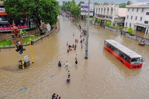
Disaster Management and Seismic Studies
• Site specific Seismic studies • Earthquake source and fault proximity study • Ground Acceleration estimation • Liquefaction analysis • Preparation of detailed Disaster Management Plan as per latest NDRF circulars • Deformation mapping for high rise stressed structures like Chimney etc.
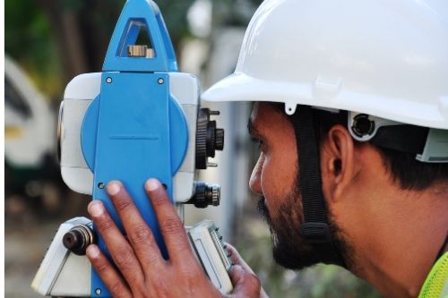
Survey’s and Data Collection
• UAV Drone Survey • DGPS & Total Station Surveys • Land Surveys and stake outs • Transmission Line Surveys • Rail Corridor Surveys • Mine Surveys and Volume estimation
Dr. Sarang Paranjpe Managing Director
• Diploma in Civil Engineering • Bachelor of Civil Engineering • Masters of Technology (Structures) • Doctorate of Philosophy (Hydrology)
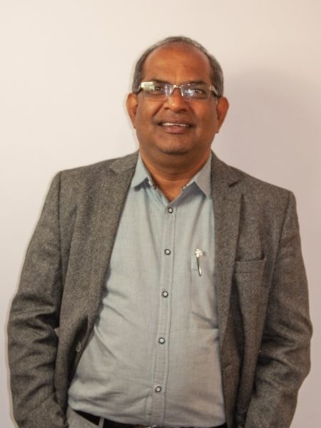
Dr. Sandeep Shirkhedkar
Director
• Diploma in Civil Engineering • Bachelor of Civil Engineering • Masters of Technology (Structures) • Doctorate of Philosophy (Seismic Mapping)

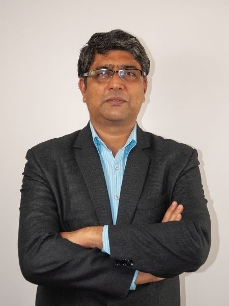
Dr. Rohit Mane
Director
• Bachelor of Civil Engineering • Masters of Technology (Structures) • Doctorate of Philosophy (Remote Sensing)