Our Services
imaGIS is a complete technical consultancy provider in the fields of “Remote Sensing, GIS, Highways, Water Resources and Seismic studies”.

support and guidance
Our Services

Highways
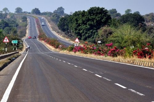
• Design of Highway as per latest IRC standards • Pavement Condition assessment using latest Laser Based Network Survey Vehicle • Inventory Surveys • Pavement strength study using Falling weight Deflectometer • Retro Reflectivity Survey • Automated Traffic Count survey

Water Resources
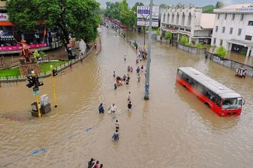
• River linking feasibility, Design and DPR studies • Preparation of Integrated River Basin Master Plan • Canal to Pipe Distribution Network Design and Proof Checking work • Area Drainage and Flood mapping and estimation studies • Design and estimation of large scale water conservation works • Dam siltation studies • Design and estimation of Water supply schemes and STPs

GIS Studies
• Thematic mapping studies for large scale maps • Change detection studies • Urban Information System • Thematic Mapping • GIS analysis & modeling • Query shell generation • GPS tracking and updation • Transportation analysis

Disaster Management and Seismic Studies
• Site specific Seismic studies • Earthquake source and fault proximity study • Ground Acceleration estimation • Liquefaction analysis • Preparation of detailed Disaster Management Plan as per latest NDRF circulars • Deformation mapping for high rise stressed structures like Chimney etc.

Survey’s and Data Collection
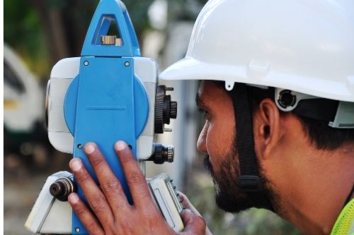
• UAV Drone Survey • DGPS & Total Station Surveys • Land Surveys and stake outs • Transmission Line Surveys • Rail Corridor Surveys • Mine Surveys and Volume estimation

Areas of Specialization
- Remote Sensing, GIS and Satellite mapping works
- Survey, Design of Highways and Bridges etc.
- River Liking and design studies
- River Basin Master Plan and Hydrological and Flood estimation studies.
- Design and Proof Checking of Canal to Pipe Distribution Networks
- Site specific Seismic study for Earthquake proximity and Liquefaction analysis
- Disaster Management studies
- Survey and design of complete water supply and sewerage schemes
- Reservoir Sedimentation study and estimation using UAV Drone and bathymetric survey technology.
- Topographical survey and quantity estimation of mines
- Infrastructure design works for slums and townships etc.
- Proof Consultancy for Piped Distribution Network
Registered Consultant For
- Delhi Metro Rail Corporation
- Indian Space Research Organization
- Gas Authority of India Ltd.
- Maharashtra Metro Rail Corporation Ltd.
- Maharashtra Remote Sensing Application centre
- Mahanagar Gas Limited
- MECL
- Nagpur Municipal Corporation
- Nagpur Improvement Trust
- National Thermal Power Corporation
- Oil & Natural Gas Corporation Ltd
- Power Finance Corporation
- Public Works Department
- Reliance Defense Ltd.
- Reliance Industries Ltd.
- RITES Ltd
- Vidarbha Irrigation Development Corporation
- Water & Power Consultancy Services (I) Ltd
- Water Resource Department, Madhya Pradesh
